The Lake General Carrera Loop from Coyhaique
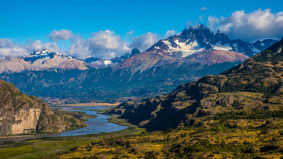
Eight days around the largest lake in Chile: Cerro Castillo, the Marble Caves, the Exploradores valley, the cliff road to Chile Chico and the ferry back across the water.
If you only have a week in Aysén, this is the loop we recommend. It starts and ends in Coyhaique, never doubles back on itself, and the ferry from Chile Chico to Puerto Ibáñez saves you the drive back the way you came.
You can pick up a camper in Coyhaique and fly into Balmaceda, an hour from town. Coming from Puerto Varas, add this loop to the end of the northern Carretera Austral and drop off in Coyhaique.
⚠️ Book two things before you go: the Chile Chico to Puerto Ibáñez ferry (Naviera Austral) and, in January and February, the Marble Caves boat trip. Everything else on this route can be decided on the road.
Day by day
Paved road and the Cuesta del Diablo
Stock up in Coyhaique: it has the last big supermarkets until Chile Chico. The road south is paved all the way to Villa Cerro Castillo. Stop at Laguna Chiguay, where CONAF has picnic tables and an easy 2.5 km forest trail, then drop down the Cuesta del Diablo with the mountain in front of you. Use engine braking on the way down: it's steep and trucks use it too.
Through the national park the speed limit is 60 km/h because huemul deer cross the road, mostly at dawn and dusk. If you see one, slow down and stay in the vehicle.
The hike to the glacier lagoon
The Mirador Laguna Cerro Castillo trail climbs to a turquoise lagoon right under the towers. It's a long, steep day, and worth every step. The trailhead is about 4 km from the village on a gravel road; our 4×4 campers handle it fine. Register on senderospncc.cl before you go.
Not a hiking day for you? Cross the Chacano bridge to see the rock paintings at Paredón de las Manos, or simply stay put and enjoy the view from the village.
Into the gravel, past the dead forest
The pavement ends around kilometre 120 and the gravel starts. Look out for the viewpoints over the Ibáñez and Manso rivers, and the Bosque Muerto, a stretch of grey dead trees buried by ash from the Hudson volcano in 1991. After the Cofré pass, the road follows the Murta river down to the lake. Expect roadworks between Bahía Murta and Puerto Río Tranquilo.
Tranquilo is busy in summer. Arrive with a campsite in mind.
Marble Caves in the morning, Exploradores in the afternoon
Take the first boat of the day to the Capillas de Mármol. The lake is calmest early, and the harbour master cancels trips when the wind picks up, sometimes minutes before leaving. Kayak tours cost more (around CLP 45,000–60,000) and get you closer.
In the afternoon, drive west on the X-728 into the Exploradores valley. Parque Exploradores, at kilometre 52, has three short trails with views of the glacier and Monte San Valentín. Walking on the glacier itself is no longer allowed. The road is narrow gravel and gets rough after rain, so turn around with daylight to spare.
Three lakes and an orange bridge
South of Tranquilo the road hugs the lake shore. Just past the El Cañal bridge is Punta Camp, the best campsite on the lake for a camper: power, water, grey and black water dump, hot showers and a beach. A few kilometres on, the orange General Carrera bridge crosses the channel into Lake Bertrand. At the El Maitén junction, turn east for Puerto Guadal.
If you have the energy, detour 30 minutes south first to see where the Baker and Neff rivers meet. It's one of the most striking spots on the whole Carretera Austral.
The cliff road at Paso Las Llaves
This is the most dramatic drive of the loop. After Mallín Grande, the road is cut into the cliffs above the lake, with sharp bends and no guardrails in places. Drive slowly, don't stop on bends, and wait it out if the wind is strong. Stop at the Los Maquis waterfalls on the way, and at the beach in Bahía Jara before town.
Chile Chico has its own warm, dry microclimate. Walk up Cerro Las Banderas at sunset for the view over the lake and across to Argentina.
Stone towers and a moon valley
South of Chile Chico, the X-753 runs into the steppe. Around kilometre 25 is the Piedra Clavada trail, past a huge volcanic rock column and the eroded Valle Lunar. The lake itself is about an hour and a half from town. As of late 2026 the campsite and the Cueva de las Manos section are closed, so plan to sleep back in Chile Chico.
Across the lake and home
The ferry La Tehuelche crosses from Chile Chico to Puerto Ingeniero Ibáñez in under two hours. From there, a paved road climbs the Ibáñez valley; 6 km out of town, turn off to see the Saltos del Río Ibáñez. At the bottom of the Cuesta del Diablo you're back on the Carretera Austral, an hour and a half from Coyhaique.
Ferry operator & booking: Naviera Austral (navieraustral.cl)
Before you go
Most of this loop is gravel. That's normal here, and the reason we rent 4×4 campers. Keep your speed down on corrugated sections, give trucks room, and check your tyres when you fill up. Fuel is available in Coyhaique, Villa Cerro Castillo, Puerto Río Tranquilo and Chile Chico; there's none in the Exploradores valley.
The best months are December to March. In April the lenga forests turn red and the crowds go home, but days are shorter and the Marble Caves boats run less often.
People also ask
How many days do you need for Lake General Carrera?
Eight days lets you do the full loop with a hiking day at Cerro Castillo and a full day in Puerto Río Tranquilo. Six is possible if you skip the Jeinimeni day and the Cerro Castillo hike.
Can a camper drive the road to Chile Chico?
Yes. The CH-265 is gravel with a narrow cliff section at Paso Las Llaves. A 4×4 camper handles it well if you take it slowly. The side road from Bahía Murta to Puerto Sánchez is a different story: it isn't suitable for trailers or large motorhomes.
Do I need to book the Marble Caves in advance?
In January and February, yes, at least a day ahead. Outside peak season you can usually book in town the day before.
Where can I camp with a camper on the lake?
Punta Camp, south of Puerto Río Tranquilo, has full camper hookups. Tranquilo, Puerto Guadal and Chile Chico all have campsites with showers.
Want to do the loop?
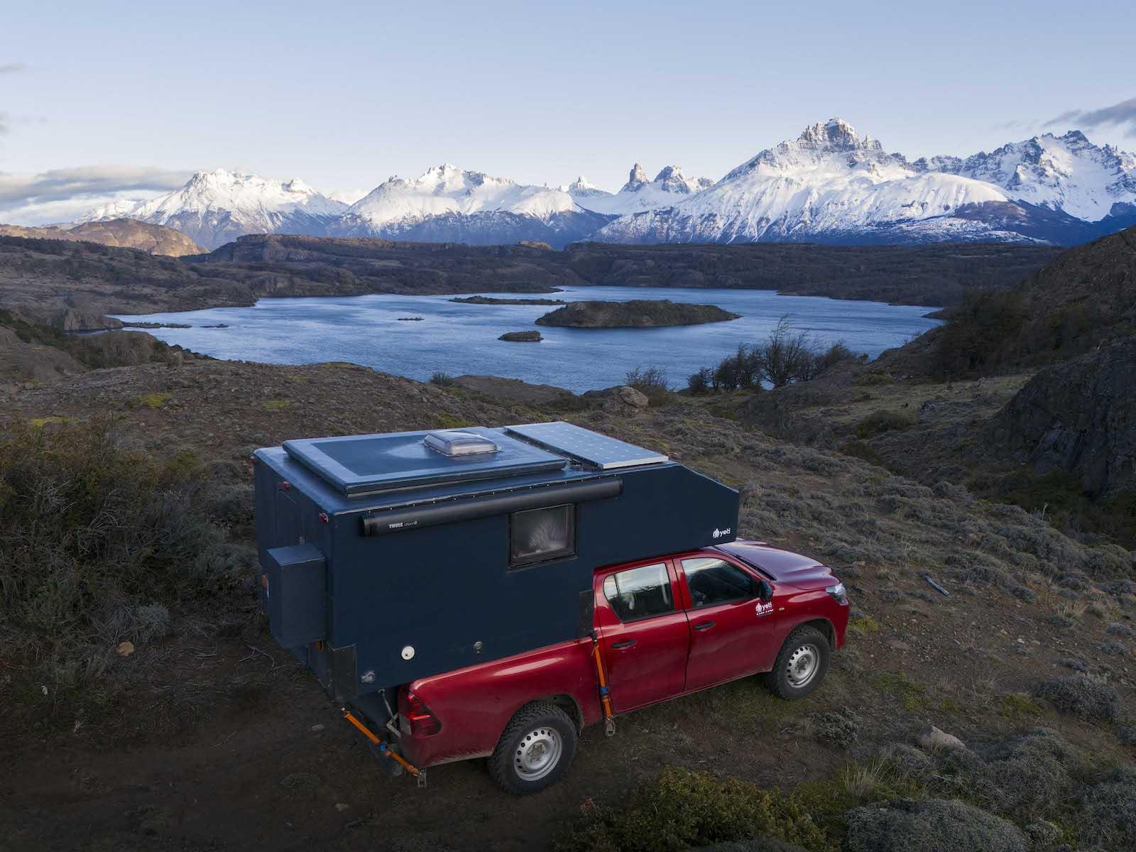
We're a 4×4 camper crew from Puerto Varas, running the Carretera Austral since 2018, with pick-up in Coyhaique. Send us your dates and we'll help you plan it.